
The Andes
What is the mountain range of The Andes?
The cordillera of The Andes is a mountain formation that runs through South america, from western venezuela to Tierra del Fuego island, and which form part of the geology of the so-called Pacific ring of Fire. It is composed by a series of plains and elevated peaks even higher, among which the volcanoes highest in the western hemisphere.
Its name comes from the word anti quechua language, with which the peoples of the inca in the region called the east geographical location. According to Inca Garcilaso de la Vega (1539-1616), in the ancient inca empire (called Tahuantinsuyo, which means “the four corners of the Earth”) is said antisuyu to the eastern province of the empire, and anti to the cordillera nevada crossed.
The cordillera of The Andes is not completely homogeneous, but consists of several sets of valleys, plains and peaks, across three regions geographically differentiated, which are:
The northern Andes. Extend from the depression of Barquisimeto-Carora in western Venezuela to the knot of Pasco or plateau Hottie in Peru. This set, in turn, is divided into three ranges:
The cordillera oriental is born in Venezuela and ends in the south of colombia, on the border between the two countries splits in the cordillera de Mérida and the Serranía del Perijá.
The central mountain range, separated from the eastern andes by about 400 km, is located entirely in Colombia, from the nudo de Almaguer, or colombian massif, up to the serranía de San Lucas. The rivers Cauca and Magdalena the border to the west and east respectively.
The western range extends to the southeast from the knot of Grass, in Colombia, to the nudo de Paramillo, where it branches out in different mountain ranges: Ayapel, San Jerónimo and Abibe. This range constitutes a single block of mountains to the northeast region of Ecuador.
The central Andes. Extend from the peruvian territory until the nevado Tres Cruces, on the border between Chile and Argentina. This is the region of largest wingspan of the whole orographic, with an elevation constant and continuous, with no mountain passes below the height of 4,000 metres. To enter bolivia, The Andes in this region branch into two ridges distinct, in the middle of which is located on the bolivian altiplano:
The western cordillera, or volcanic, characterized by the presence of volcanoes, which extends from the knot Jucuri up to the volcano Licancabur, and makes a natural border between Bolivia and Chile.
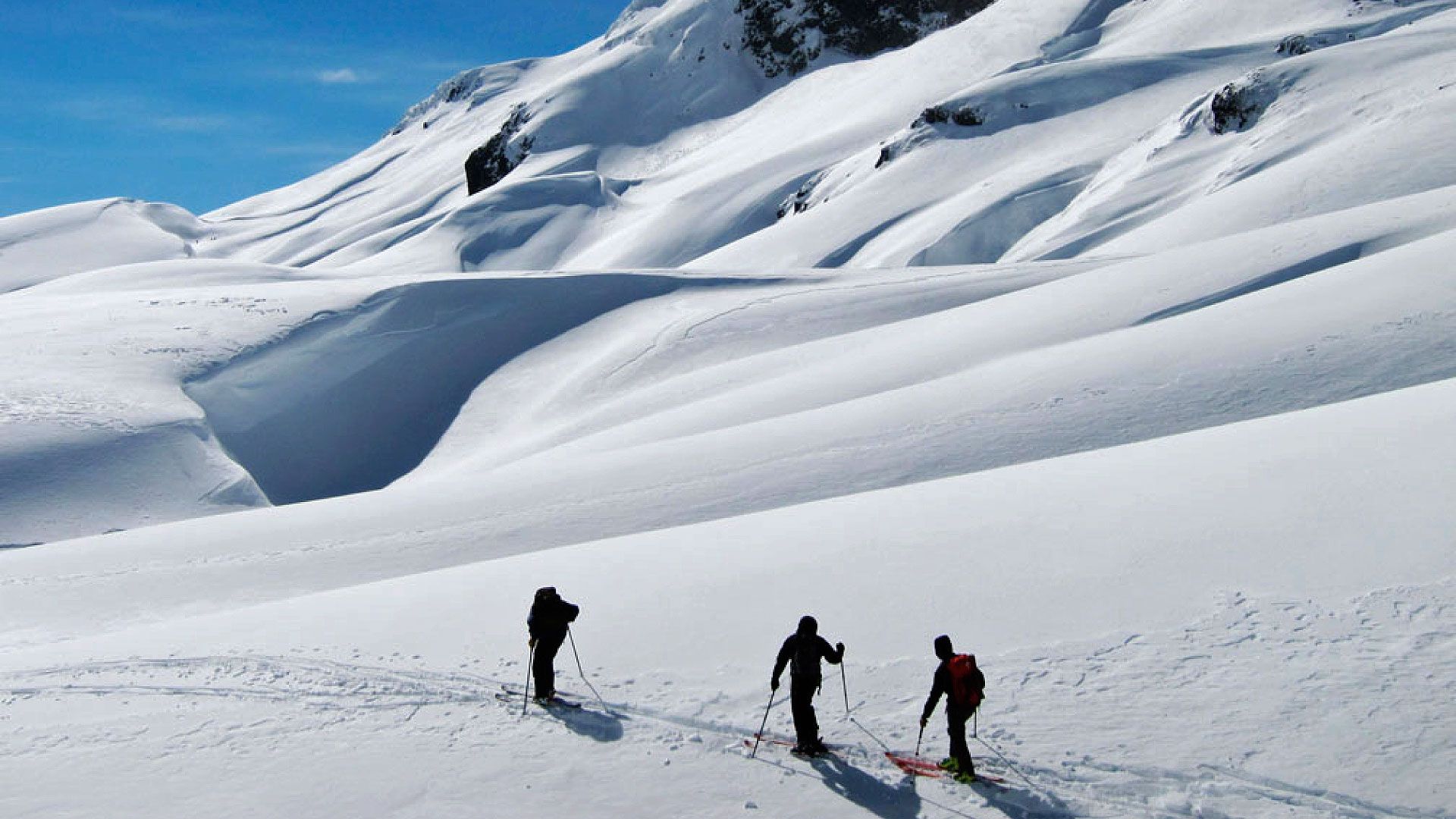
The cordillera central or real-extends from the snow-covered Chaupi Orco in the northern bolivian up to the cerro Zapaleri between Bolivia, Chile and Argentina. In this region abound in glaciers, peaks over 6,000 meters and the snows of height.
The southern Andes, or south. Extend from the hill of Three Crosses to the Tierra del Fuego, along the Patagonia of the Southern Cone, making the times of the natural border between Argentina and Chile. Along its route, it branches out into three sub-regions, which are:
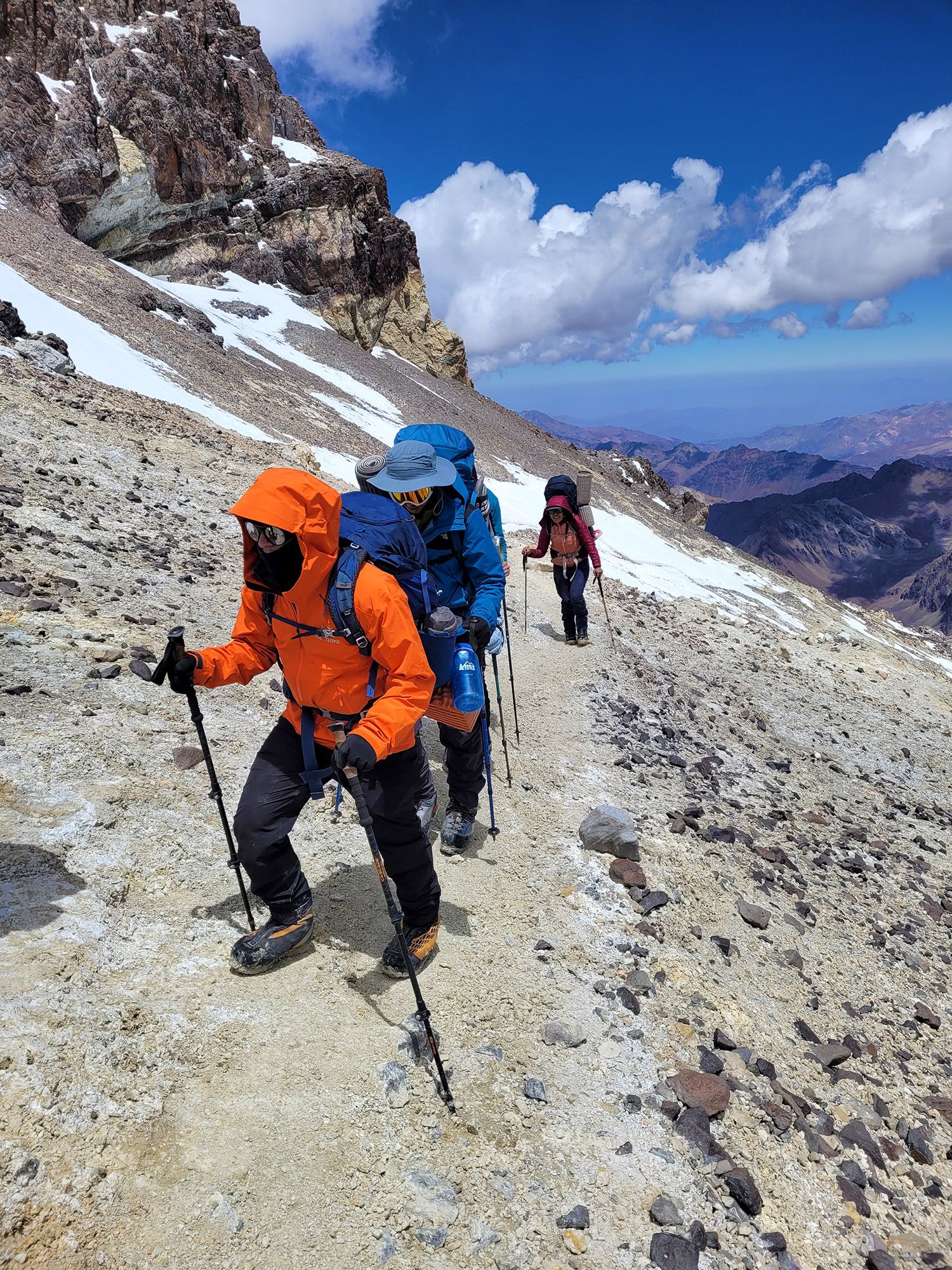

The Andes, arid stretch to Step Pine Swollen, in the center-south of the mountain range, and exhibit high peaks and important, like the Aconcagua, as well as steps, dry, difficult, and steep, with neighbors to the desert region of Atacama.
The patagonian Andes extend to the south of Step Pine Swollen and exhibit a marked decrease of the elevations, due to the erosive action of glaciers in the region and the tectonic subduction of the plates. Presents patagonian forests of height and numerous mountain passes that allow the transit of the wet wind of the Pacific. Abound, in addition, the lakes, glaciers and volcanoes.
The fuegian Andes are the continuation of the cordillera in the Land of Fire, in the sector of southern Chile and Argentina. It is located immediately to the south of the strait of Magellan, extending as far as the Island of the States, in argentine territory.


Leave a Reply